Olocau
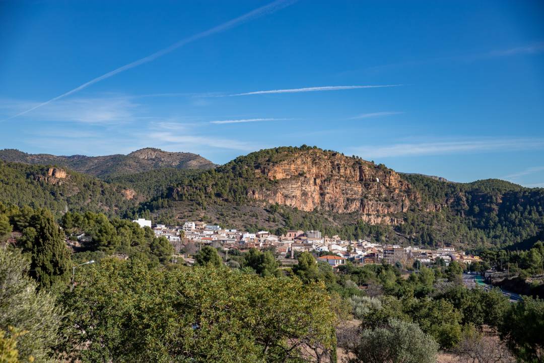
The municipality of Olocau is located in the administrative region of Camp de Túria, in the western foothills of the Sierra Calderona range and to the left of the Carraixet Ravine. It is located at 269 m above sea level and at a distance of 30 km from Valencia, 10 km from Llíria, 15 km from Bétera and 17 km from the nearest Mediterranean motorway junction. Its municipality covers some 36.62 km2 and has a population of 1,647 inhabitants. There are currently more than 300 hectares occupied by residential developments, mainly dedicated to second homes and whose inhabitants take the population in summer up to more than 10,000 inhabitants.
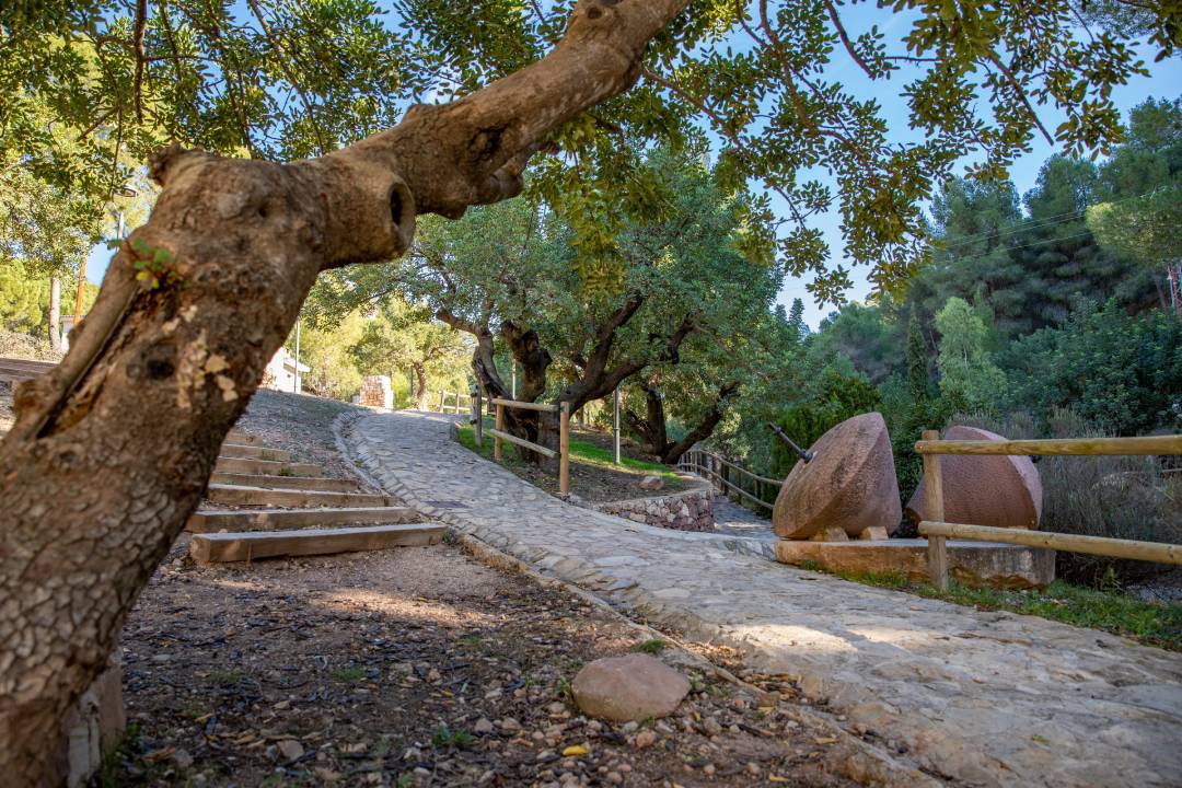
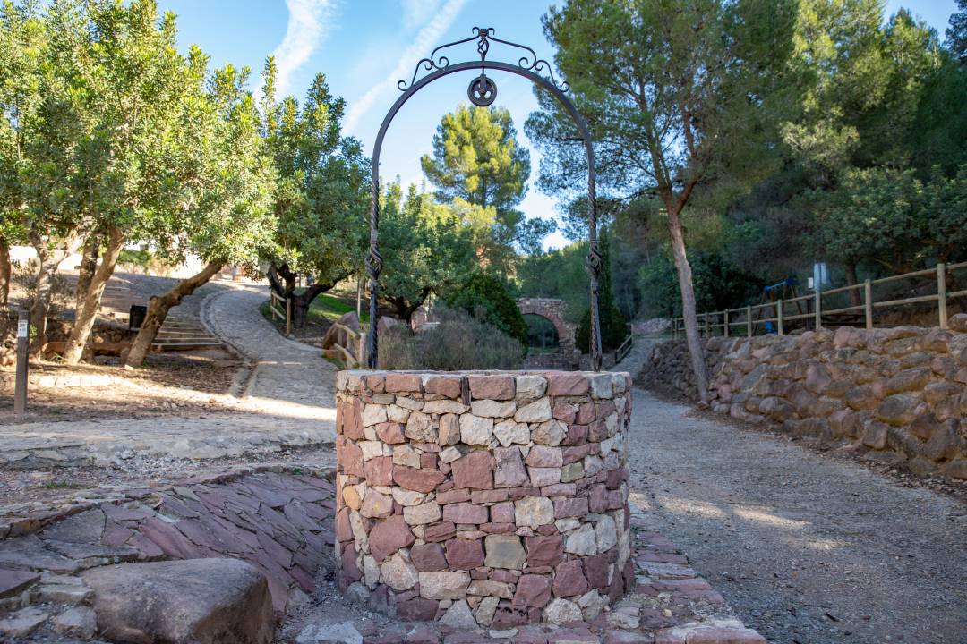
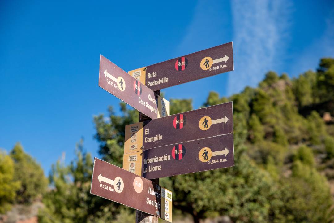
By virtue of its excellent geographical location, Olocau is crossed by several hiking routes that are abundant in vegetation, minerals and wildlife. Each route crosses its own, unique landscape, each stone has a history, all of them reveal the presence of man and his works throughout the ages, and all of them can inspire the life of an era.
Gastronomy:
The Sant Antoni “olla de col” (cabbage stew), made with beans, blood sausages, chorizo, pigs ear and snout, white cabbage and turnip, which is specially prepared for the festival of Saint Anthony. The sweets known as “congrets” (anise cakes), by far the most well-known example of the local cuisine, are prepared during the festivities held in honour of Saint Anthony, along with other delicacies, such as “ajolaire” (garlic, oil and cod – all raw), pepper and tomato pie and Christmas cakes.
Places of interest:
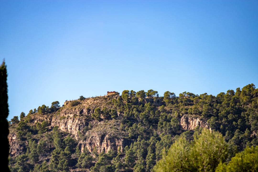
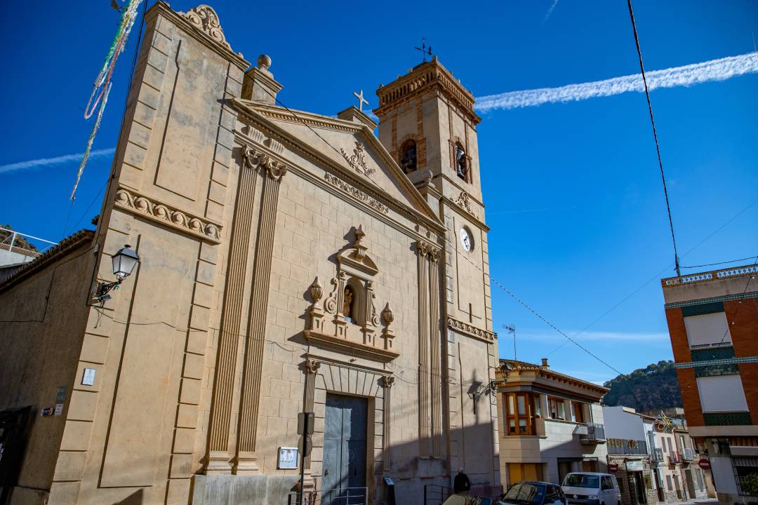
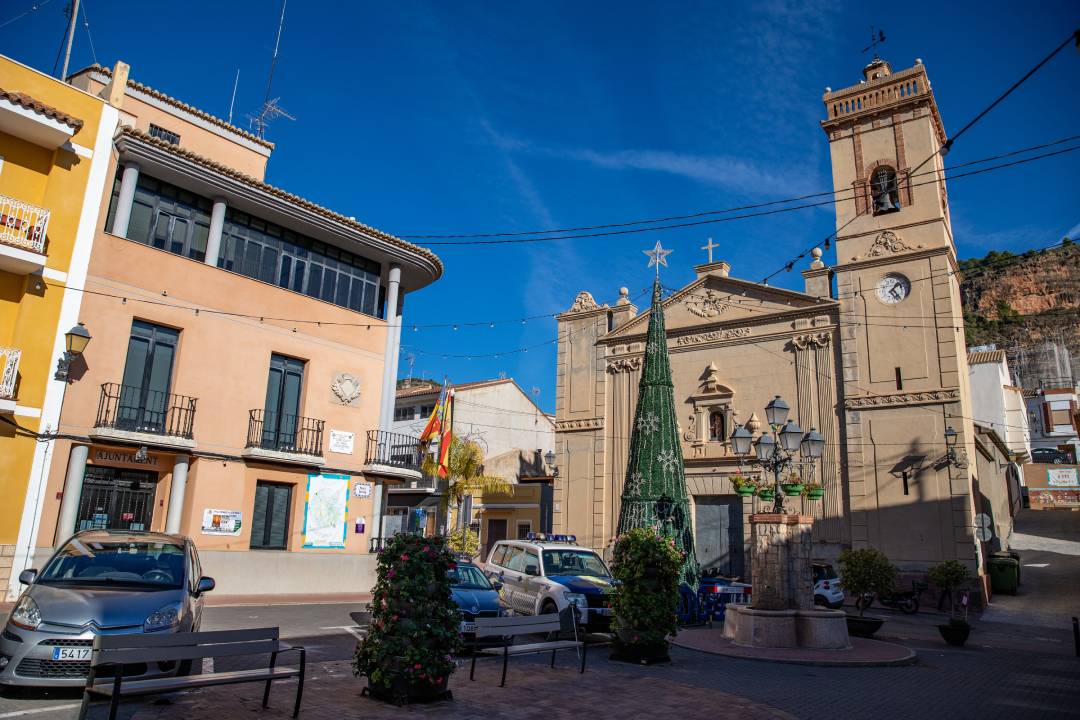
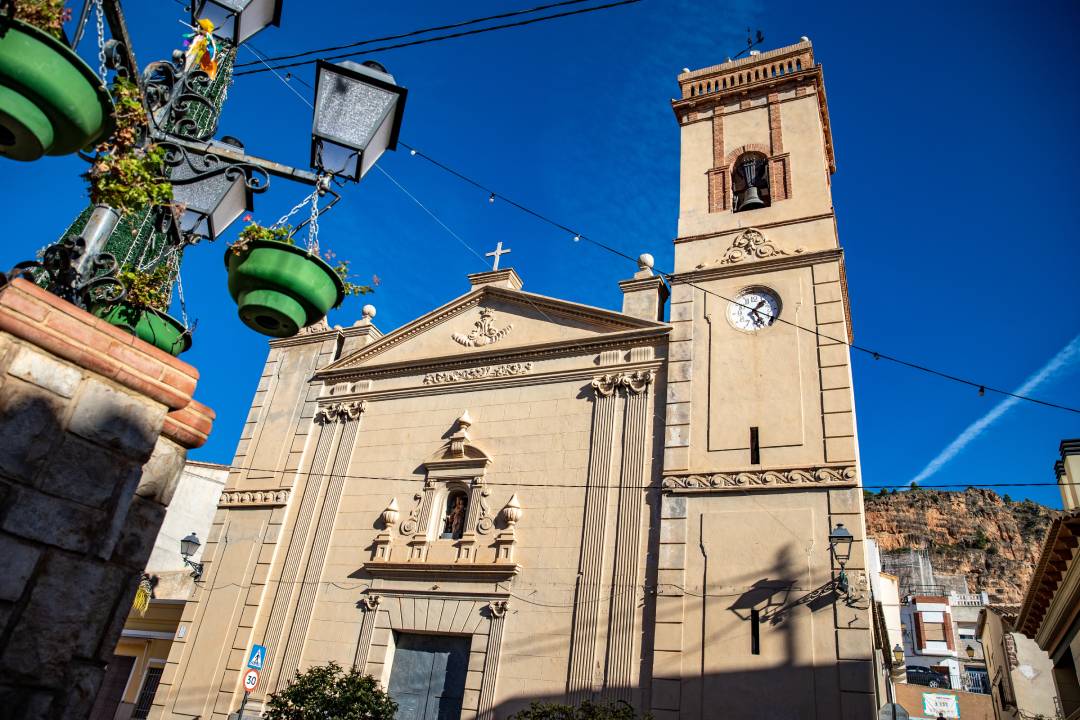
A visit to Olocau allows us to enjoy the village’s most significant monuments: the Church of the Virgin of the Rosary (18th-century), and the home of the Earls of Olocau, “el Castillo del Real”. The 18th-century Castillo del Real is an old Muslim defensive fortification which, along with other nearby castles, made up Valencia’s northern defence.
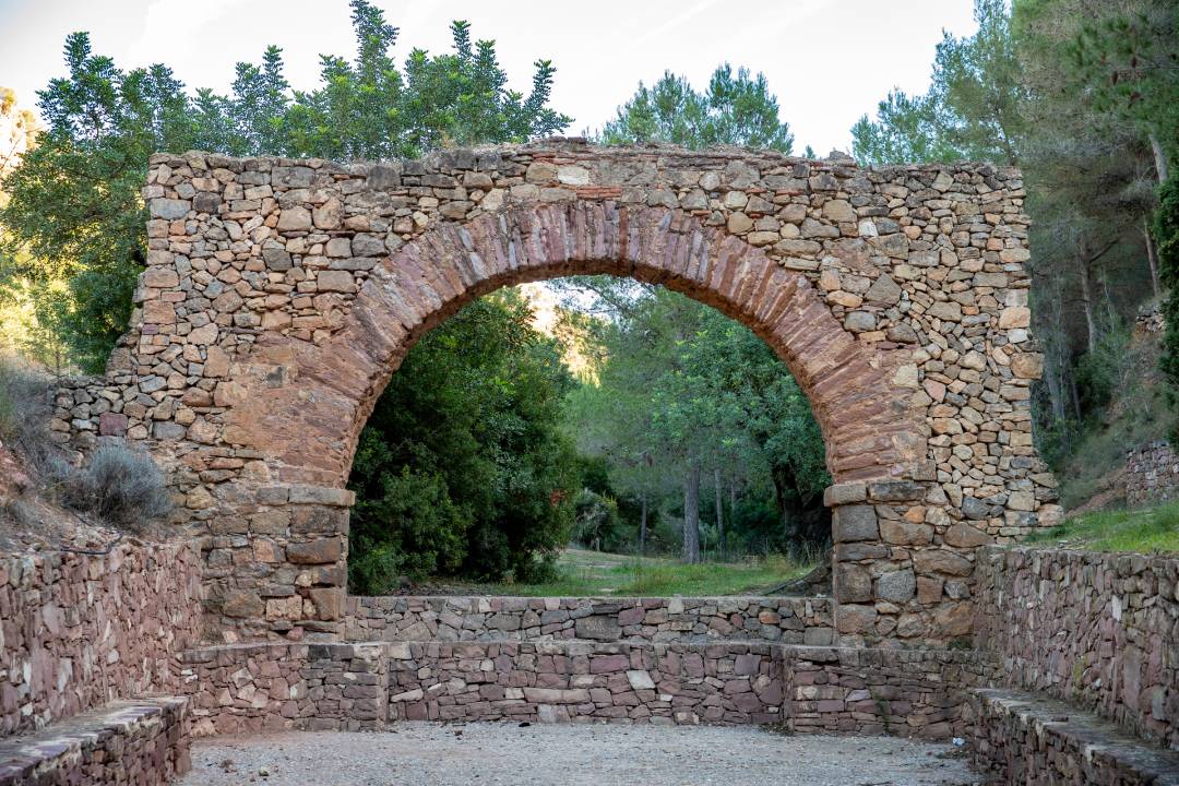
We also find the remains of a well-conserved Roman aqueduct in “L’arquet”, which lies within a park.
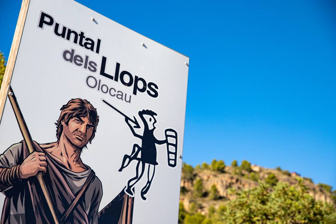
Local natural parks include “el puntal del Llop”, located at an altitude of 427m, and “la Cueva del “Cavall””.
Local springs include “la Carrasca”, “el Fraile” and “la Salud” (at the foot of the Alí Maimó peak, the most representative symbol of Olocau).
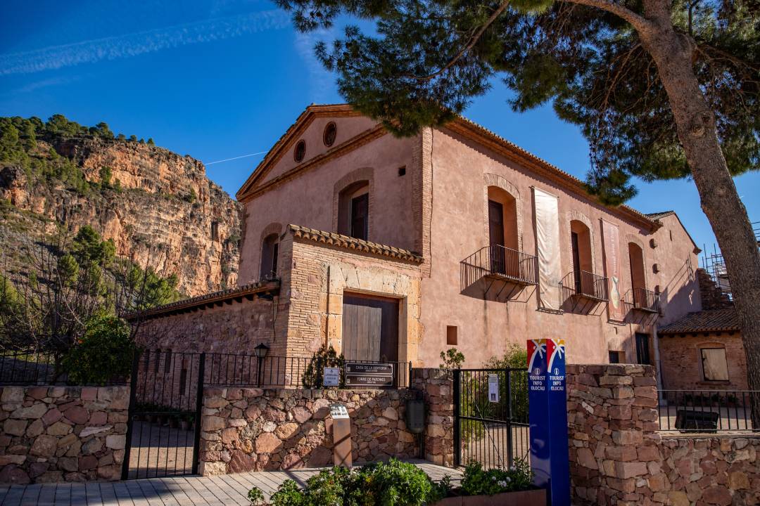
House of Senyoria del Comtat d’Olocau
It is the oldest building in Olocau. Its base may be of Roman construction, as is the case with other buildings located throughout the Valencia Region. Remains of Roman works have been found in the surroundings. The building known today as “La Casa de la Senyoria” was in fact constructed over numerous centuries.
Guided tours of the Iberian Site “Puntal dels Llops”
In order to visit the site, reservations must be made beforehand with the Olocau Tourist office (Tel. 672794404 – open to the public from Wednesday to Sunday, 10.00 to 14.00), or via email: puntal.llops@olocau.es. Free entry.
Arquet
El Arquet is composed of the remains of an ancient aqueduct of Roman origin located in the Frare ravine, towards the end of Avenida de la Font del Frare, next to a park.
Castillo del Real
During the Muslim period, this fortress, together with the castles of Chelva and Morvedre, was used to defend the northern part of Valencia from attacks from Aragon.
Festivities:
Celebrations are held in honour of Saint Anthony on 17th January, with traditional bonfires and the blessing of animals, as well as a traditional “Cordà” firework display and the blessing of bread rolls. August sees the celebration of festivities in honour of Our Lady of August and Saint Roche, whilst in October celebrations are held in honour of the patron saint, Our Lady of the Rosary.