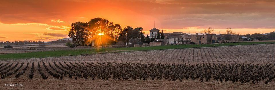
Fontanars dels Alforins
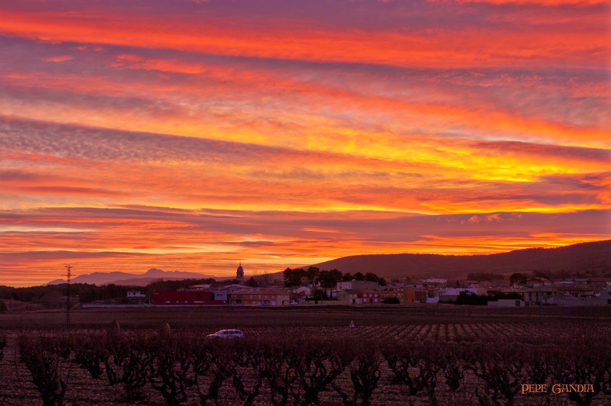
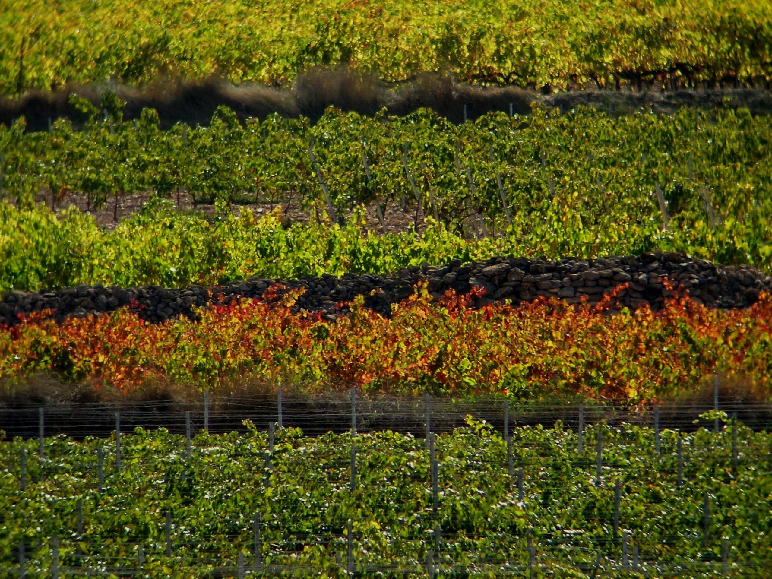
Fontanars dels Alforins is located on the highest lands in the eastern part of Vall d’Albaida. The plateau of “los Alforins”, bordered by the Serra Grossa and the Serra de Beneixama ranges, set in a mosaic landscape combines vineyards with olive and cereal crops. The local earth is a mixture of sand and clay banks, forming one of the most beautiful sediments to be found in Spain, providing a unique set of conditions for the practice of agriculture. The Mediterranean climate begins its transition to the continental climate and the landscape surprises the visitor during all periods throughout the year. The newer centre of Fontanars dels Alforins cohabits with numerous fields, wineries, holms oak forests, and stately mansions surrounded by pine trees. Els Alforins were incorporated into the Kingdom of Valencia in 1245 by the troops of James I of Aragon, and depended on the town of Ontinyent until 1927.


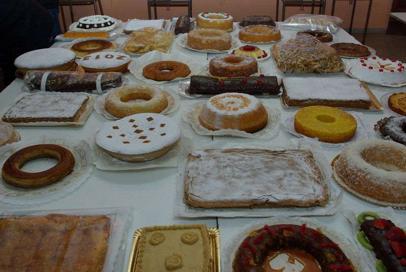


Gastronomy:
The most popular local dishes are “gachamiga” (made with flour, oil, water, onion or garlic) and gazpacho (with “torta”, game, thyme and accompanied with “all i oli”). The wines produced in the local wineries are excellent, especially the reds and whites, which are covered by the Valencia D.O.
Places of interest:
“Rutas de la Cal” Trails
Route 1 San Enrique “EL PORT”
Distance: 6.1km
The route starts at the end of Calle Alfonso XIII, from where we set off in the direction of the junction with Calle País Valencià, and from there we take the path known as “camí de Missa”. Then we head east, and 500m later come to “Casa Trinidad”, located to our left. From here we continue until “El Heredat de Ca Colomar”, which we leave on our left as we set off to “La Finca del Conxell”. On the same side as the house, we then head off in the direction of the CV-660 road, where we continue on the right in the direction of Ontinyent. 200 metres later on the right we come across a splendid palace constructed in the 17th century by the Count of Torrefiel. There is a shop here, selling a wide range of exclusive, local products. We continue the path back to the CV-660 and head towards Ontinyent. To the left lies the “San Enrique” estate. A further kilometre along the road with come to path on the left that, after 35 m. leads us to furnace nº 1 of San Enrique. Alternatively, the route can be covered by bike or car by setting off from Fontanars dels Alforins along the CV-660 towards Ontinyent. After 6.1km, we come to the track that leads to the furnace of San Enrique, located in “Port de Fontanars”. On the way back to the CV-660, we find an interesting blacksmith’s, where we can contemplate the interesting world of the forge.
Route 2 “LA REPLANA”
Distance: 6.2
The beginning of the route is to be found at the end of Avenida Conde Salvaterra de Alava, from where we set off for the CV-567 Benejama road. We can combine the route with visits to different wineries. We begin to climb the Benejama the road and, after about 2km, we reach the “Barranc de Peres” recreational area, where we can enjoy a unique landscape equipped with the services necessary for spending a day surrounded by nature. Continuing with our ascent, after 3.5 km we come to “El Moro” forestry house, from where we can enjoy a spectacular panoramic view of the Fontanars dels Alforins municipality. Continuing towards Benejama along the same road, after 5km we find “La Replana” forest track on the left. Some 300 metres later we come to furnace nº 2, “Pato”. Continuing a further kilometre east along the forest track, we arrive at furnace nº 3, “La Replana” East.
Route 3 “LES PILES” CALS COLAUS
Distance: 7.8Km
The route starts at the end of Calle Constitución, where we follow the “Les Piles” track. After 300m we arrive at the “Les Piles” recreational area and furnace nº 4, known as “El Mulero”. By taking the previous trail towards the west, we immediately come to an intersection that will take us, to the left, to a winery and, to the right, along the “Cubelles” path. We cross the CV-660 road and, in front of “heretat de Cubelles”, we continue until we come to “ca Peralta” and the CV-654 road. Following the road towards Mojente, after 600m on the right we come across a track that leads to furnace nº 5, “Cals Colaus Este”. We continue easterly for 200m along the track leading from the furnace and we arrive at furnace nº 6, “Cals Colaus de abajo”. We then return to the road and continue towards Mojente. 200m on the right we find the entrance to the “Heretat de Taberners” winery. Following the same track north for 800 metres, we arrive at furnace nº 8, “Cals Colaus”. Returning along the same track to the road, we continue to the west and, some 900m on the right and next to the entrance to “Cals Carreters”, we find the furnace nº 9. Back on the CV-654, we continue to the “ca Pastor” estate. Following the pine forest that borders a stubble-filled field, at 300 metres and in middle of the pines we come to the last furnace, nº 10, “l’altet de la Moneda”, nestled amid a beautiful landscape surrounded by oaks and pines.
Route 4 “EL BALCÓ”
Distance 4.8km
This route starts in the same spot as Route 1. The route starts at the end of Calle Alfonso XIII and the junction with Calle País Valencià. From there we take the track known as “Camino de Missa”. We then head towards the east. After 500m we find a trail that leads us north to the CV-660, in front of which lies the entrance to the house known as “El Balco”, the” former palace of the Marquis of Vellisca. Continuing north, after some 200 m we come across two impressive holms oaks. The trail here splits into three: we take the right-hand trail, and after 100 m we come to furnace nº 11, “Balco”. Continuing eastwards and leaving “El Rincón de Sanxó” and an impressive oak on the right, we climb a small incline and, 400 metres later, we come to furnace nº 12, “Rincón de Sanxó”. Turning around and heading in the direction of the two “Balco” holms oaks, we continue along the middle track. 200m on the left we descend to furnace nº 13, “Sèquia de ca Traver”. Continuing along the “sèquia de ca Traver”, surrounded by an impressive grove, we return to the tracks, taking the left-hand one and continuing west for about 400 metres, where we find furnace nº 15, “Arenal de ca Traver”.
Route 5 “CALS FRAILES”
Distance: 7.2
The beginning of the route is located at the exit of Fontanars dels Alforins, at the end of Calle Josep Renau. Crossing the CV-655 in direction Villena, we take the track to the south known as “quitapesares”. 400 metres on the left lies furnace nº 16, “cals Pins”. A little further up on the right, we take a track which we follow for some 2.3 kilometres to furnace nº 17, “Pou del Capellá” East. Continuing along the track, we immediately come across an access on the left that leads us to furnace nº 18, “pou del Capellá”. Heading off to the north, and passing in front of the well after which the area is named, some 100 metres later we come to furnace nº 19, “pou del Capellà” sur”. We return to the track and head off west. After 500 metres we take a turn on the right to furnace nº 20, “Modronyar”. By retaking the trail that we followed at the beginning, we continue to the right. Some 800m further on the left, we enter a pine forest, that leads us to furnace number 21 of the “cals Frares” ravine. Through the clearing in the undergrowth we climb 100 m upwards, from where we can see the last furnace nº 22 of the route, named after the ravine “cals Frares” south. Alternatively, if we do not wish to return along the same route, we can descend along the “Cals Frares” track and, after about 2 kilometres, we come to the Via Augusta Roman road. By following the road westwards, we arrive at a winery. By following the Vial Augusta to the north, we come to another winery.
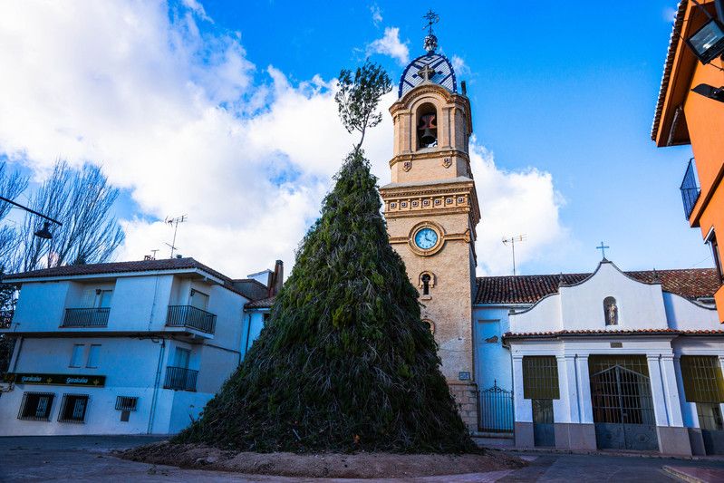
Festivities:
The patron saint of the village is Saint Anthony the Abbott, and festivities are held in his honour on 16th and 17th January. During the first weekend of September, Moors and Christians festivities are celebrated in honour of Our Lady of the Rosary.