Beniatjar
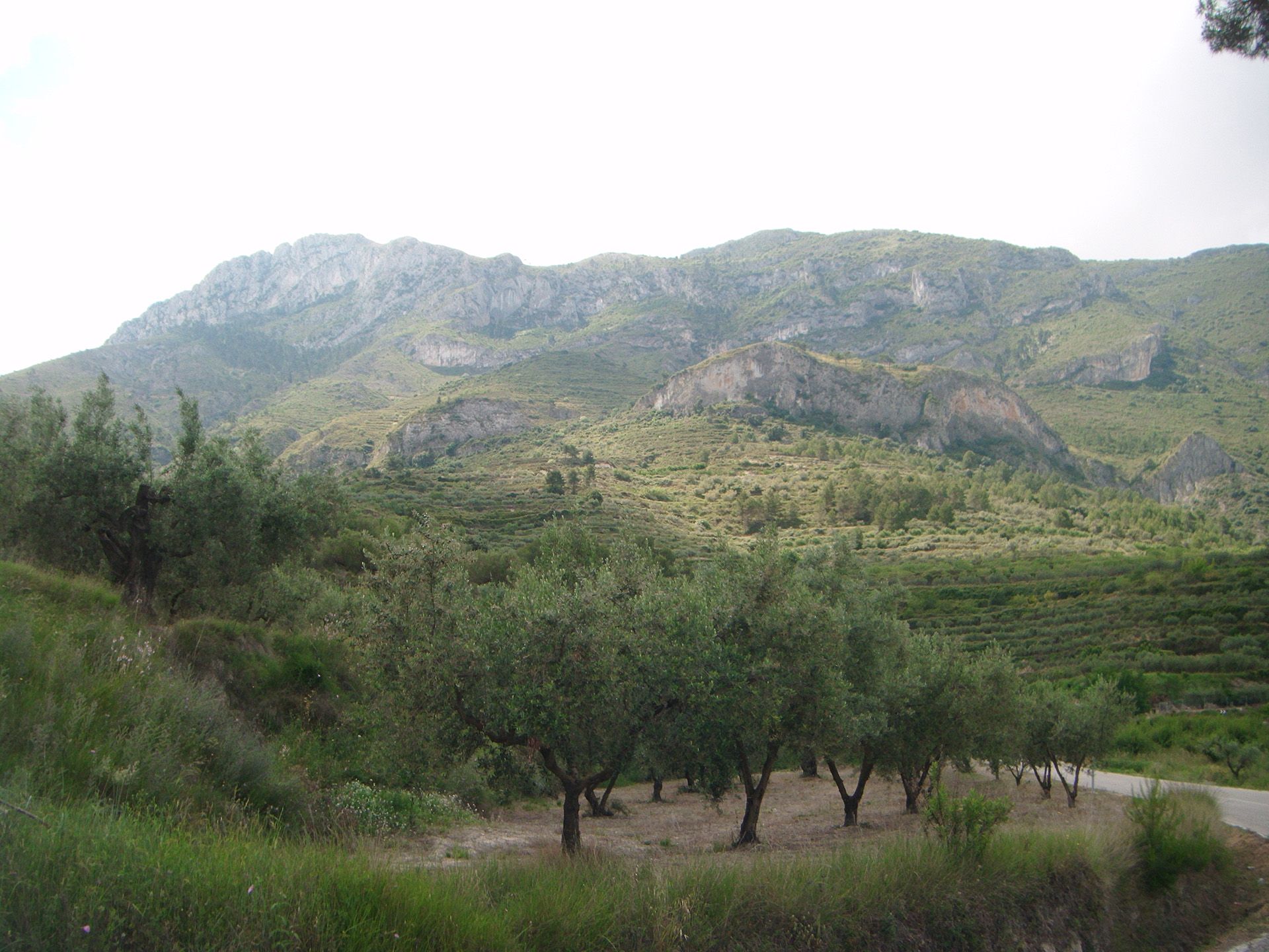
A municipality located on the northern slope of the Sierra de Benicadell range, in the southern sector of La Valle de Albaida. The municipality is long, stretching from north to south: the northern sector is gently undulating, while the southern sector borders with the Benicadell mountains. The River Micena flows from east to west along the entire northern limit; it is fed by the Beniatjar ravine, which represents the western limit.
The climate is continental; the most frequent winds are “ponent” (east) and “llevant” (west). The later is responsible for bringing rain, usually between autumn and spring. It often snows in the Sierra de Benicadell mountains in January and February.
The local economy is based on agriculture, with terraced fields in the foothills of the mountains. In the mountains there is a vast area of private and state-owned pine forest and scrubland. There is a predominance of dryland crops, such as grapes, cereals and olives. Small irrigation reservoirs, fed with water from various springs, are used for the cultivation of potatoes, maize and vegetables.
The village is located on a hill at the foot of the Benicadell peak. The church is dedicated to Our Lady of the Incarnation; it has two panels attributed to Joan of Joanes. Carbonera Castle lies within the municipality. There is a former snow storage construction on the ridge of the Benicadell.
Gastronomy:
Baked rice with chickpeas and ribs, baked rice with beans, artichokes and garlic, baked rice with beans and turnips, rice with broth, tomato and pepper cake, “pestelillos de boniato”, madeleines, “torta dulce de lata”, almond cake, biscuits.
Places of interest:
Parish Church of Our Lady of the Incarnation (17th century)
The church was extended and redecorated in the mid-18th century. The bell tower has two sections with a capstone. It has three bells: “menuda”, named Santa Barbara, from 1822; “mitjana”, named Josefa, from 1849, and “gran”, named “Maria de la Incarnación”, resmelted in 1971.
The Calvary
The old Calvary was located to the other side of the ravine, but the hill on which it was located disappeared in the “Saint Charles flood” in the late 19th century. The new calvary was built on the hill and the esplanade where the old castle was located, towards the south of the village. The “roveno” pine, which appears in the village coat of arms, was also located in this area. The old stations, which were demolished in the Spanish Civil War, were rebuilt in 1989 to coincide with the tercentenary of the construction of the parish.
Carbonera Castle
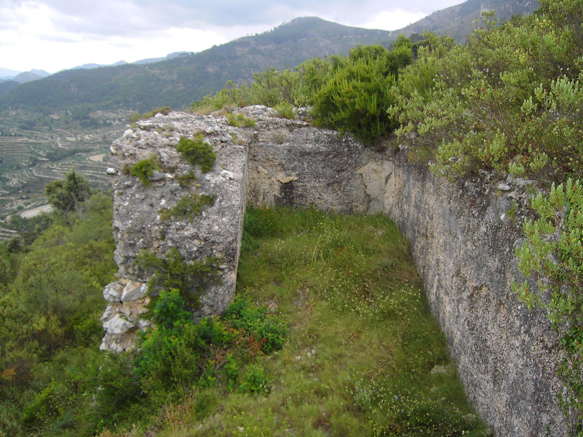
An old castle located on a rocky flat under the northern slopes of the Serra del Benicadell range of which only the remains of the walls and a tower which served as a buttress and cistern remain. The best preserved walls are on the northern face. It is built of flat, lightly-worked limestone. It played a significant role in the 13th century when the various castles of Vall d’Albaida held sway over different hamlets. Carbonera Castle controlled Bèlgida, Otos, Beniatjar, Ràfol de Salem and Salem, among others. According to Abel Soler, the mozarab name referred to the exploitation of forestry resources. In 1287 was it was granted, along with that of Rugat, to Bernat Bellvís (Escolano). By 1339, the castle had already been destroyed.
Route of “El Cid” and “Carbonera” Castle
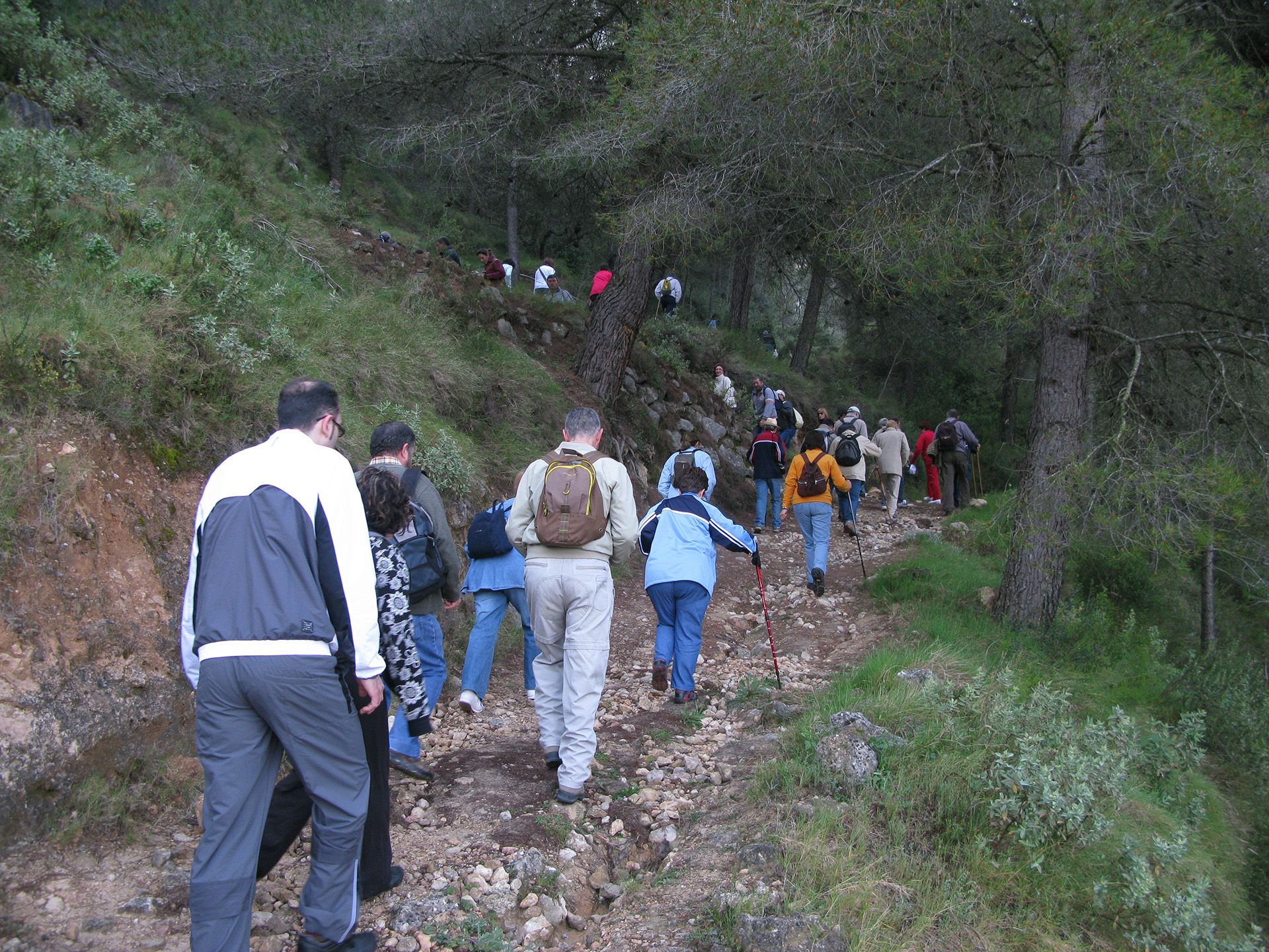
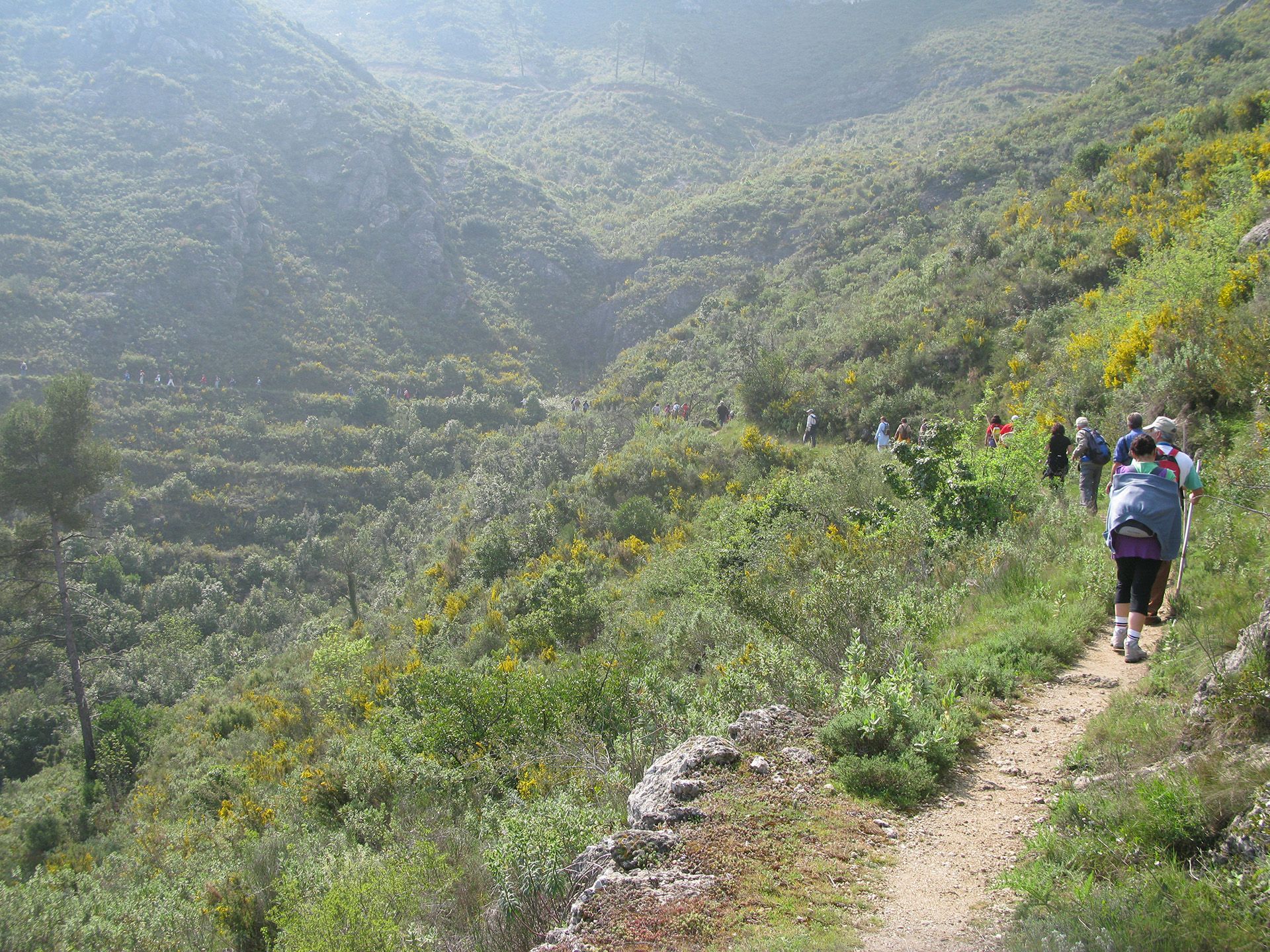
A spectacular route of extreme beauty and uniqueness through “Umbria del Benicadell” (an emblematic mountain called “Penya Cadiella” in The Poem of the Cid). Carbonera Castle was an Arab fortress was conquered and reconquered by Rodrigo Diaz de Vivar, from where he watched and controlled all four cardinal points.
PR-CV 213: Beniatjar- El Ràfol de Salem- l’alt del Benicadell (15.6km 4h 15min).
Festivities:
- On the second day of Easter, olive oil is collected for the Father Preacher.
- The main festivities, held in honour of Saint Roche, Christ of Consolation, the Assumption and the Divine Aurora, are celebrated during the last week in August.
- The “Aguinaldo” festivities are held on 26th December.
