Benetússer
A municipality belonging to the L’Horta Sud administrative region, it lies some 5 kilometres from the city of Valencia. The plain is irrigated by the different arms of the Favara irrigation canal which crosses below the village centre (now completely built-up) and runs into the Albufera Lake. The municipality is certainly small, measuring hardly one kilometre square, a factor that conditioned the transition in the past from agricultural to industrial activities. Its historic location on the “Camino Real de Xativa”, or the Valencia to Madrid Royal Road (today “Avenida del Camí Nou), has been a great advantage to Benetússer, providing good accesses and communications by road and rail. This circumstance enabled the village to progress and to modernize itself during the last century until becoming the small dynamic town it is today, equipped with all the services necessary. Industry has gradually given way to commerce and services of all kinds, which currently provide employment for a large part of the workforce.
Gastronomy:
Benetússer’s cuisine is typical of Mediterranean and Valencian cooking. The varied local cuisine is based, above all, on rice. Mention may be made of paella, “all i pebre”, the traditional “arròs amb fesols i naps” (rice with beans and turnip) and the classic “arroz a banda” (rice with fish stock).
The local sweets include typical Christmas nougat, as well as chocolate nougat with almonds or hazelnuts. However, Benetusser’s most typical sweet is “Túrron Viena”, consisting of a wafer biscuit filled with nougat praline and dipped in dark chocolate.
Places of interest:
- Parish Church of Our Lady of Aid.
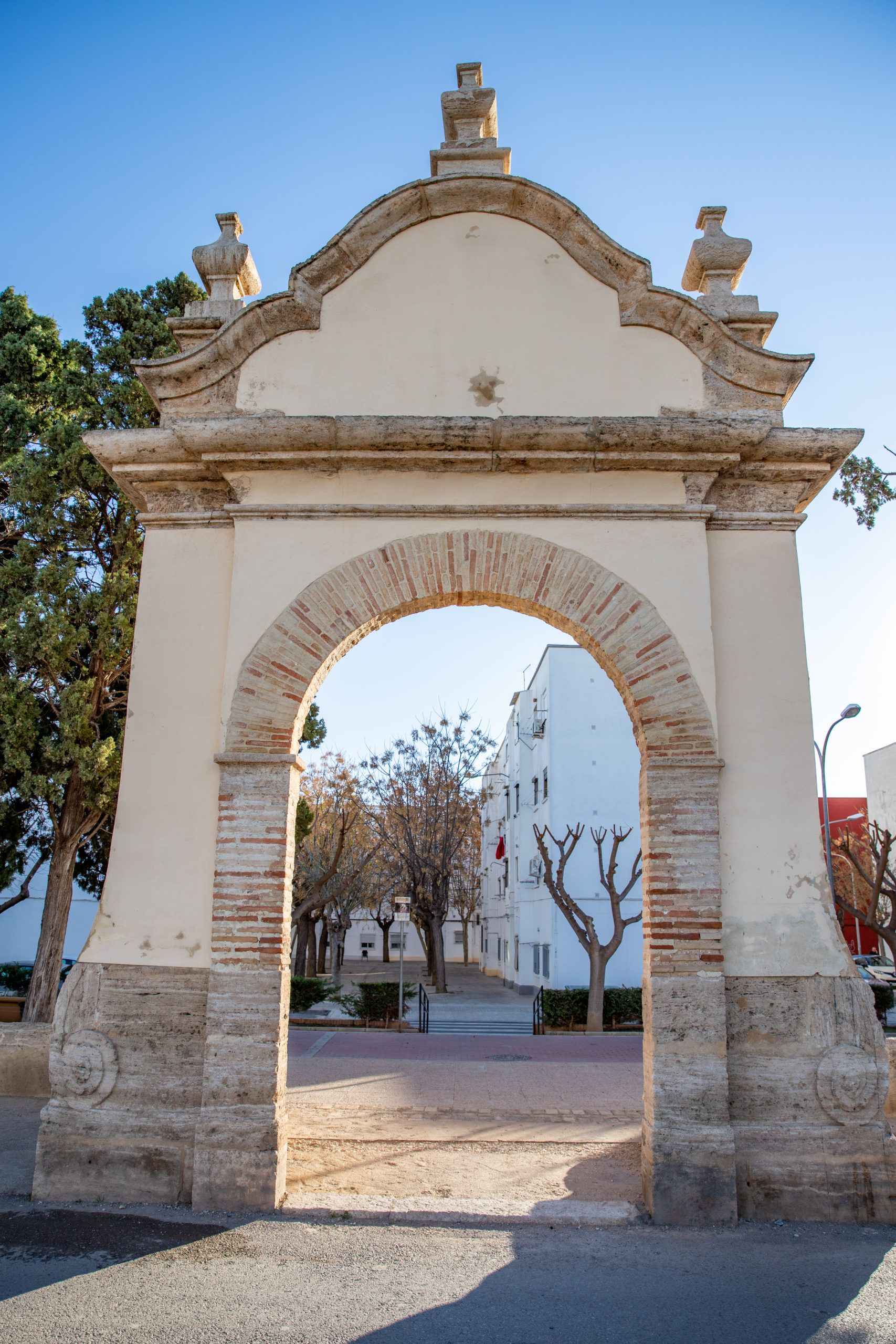
- The castle gate or Favara gate.
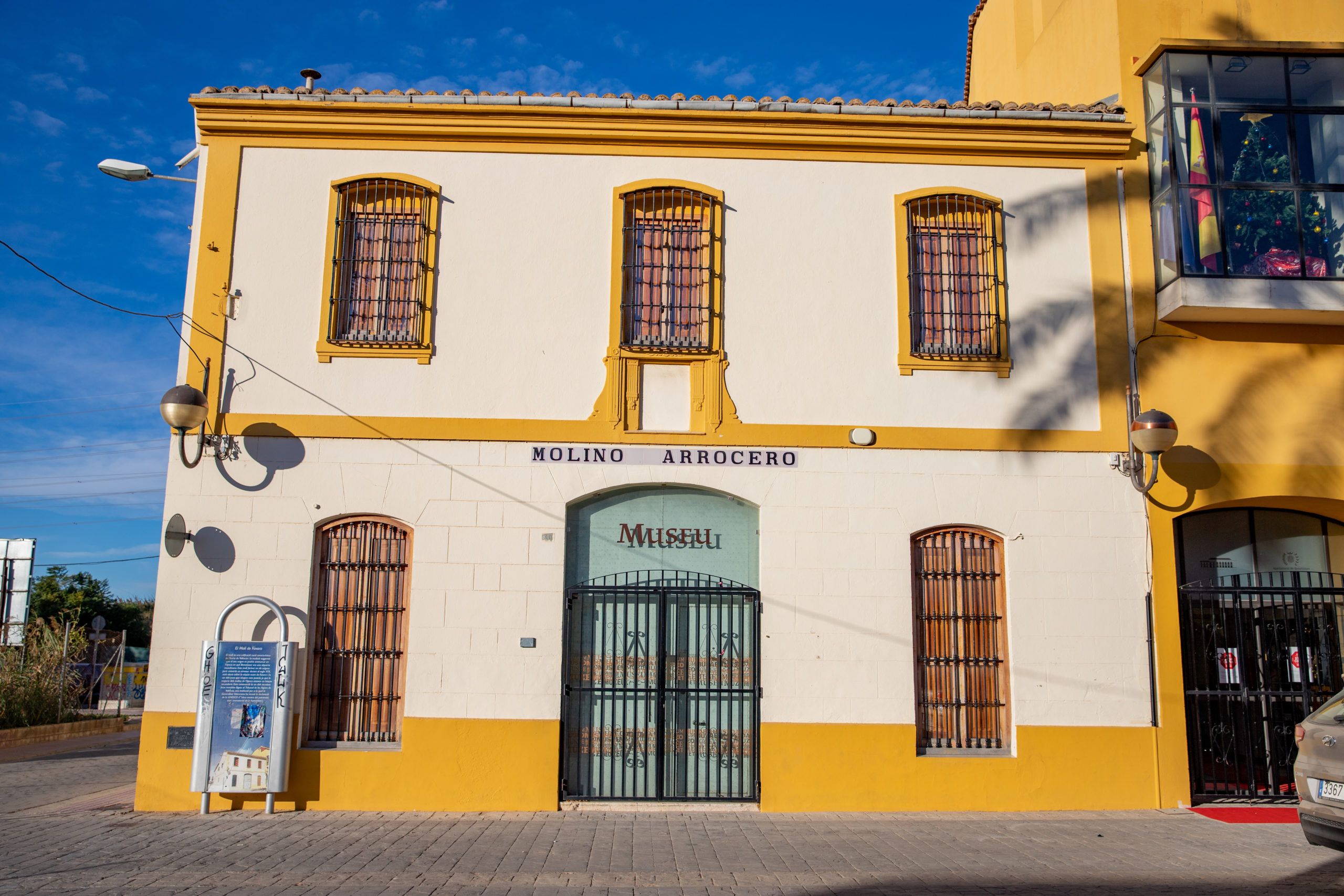
- Favara Mill.
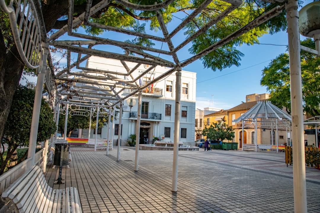
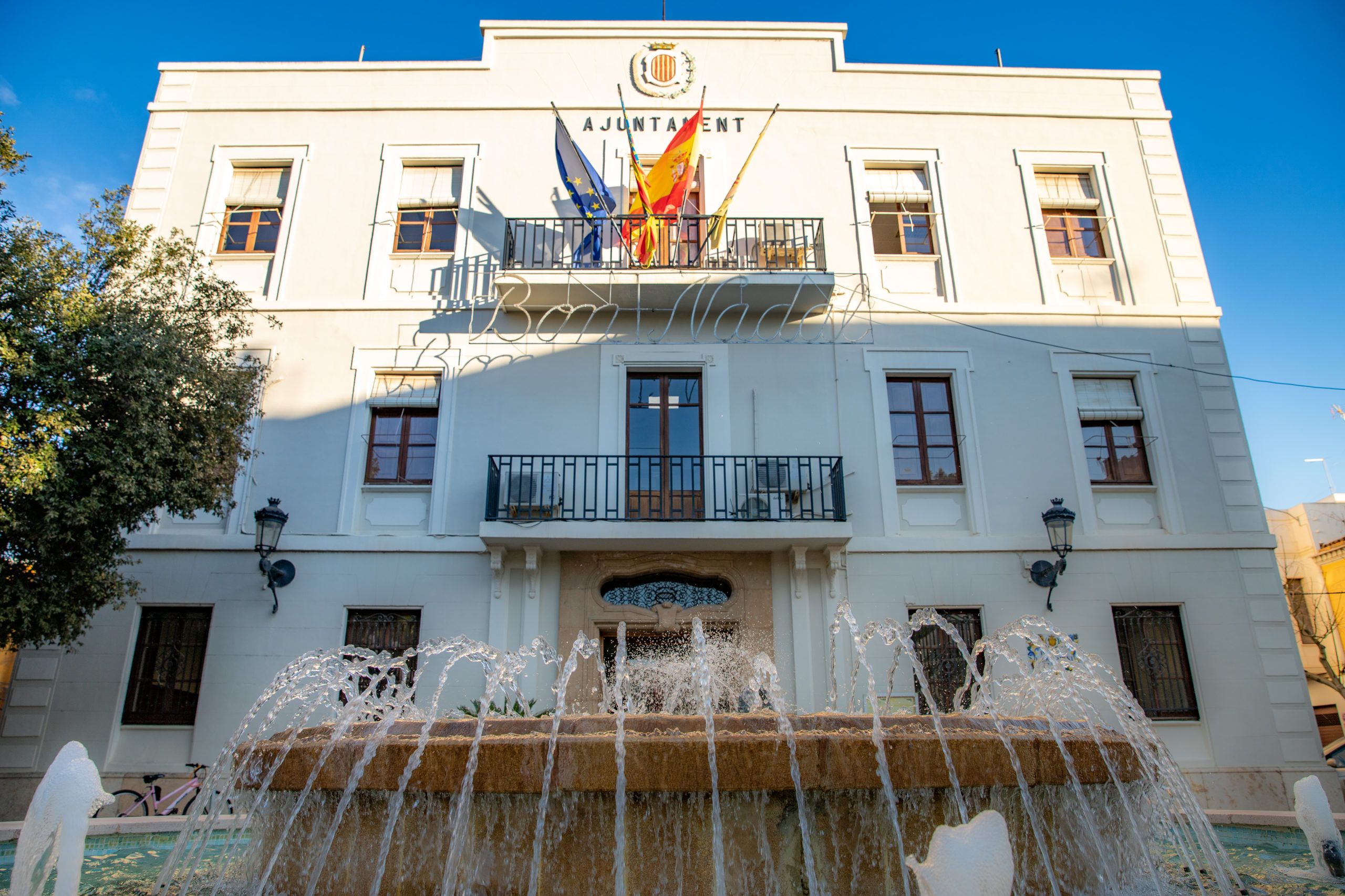
- The Town Hall.
- “La Estación” Rice Mill.
- Archaeological remains
- Historical routes
Cattle trails.
The municipality of Benetúser is crossed by two livestock trails, the Valencia Cemetery pathway, which coincides with the route of the old Picasent road, and mountain paths, including “El Azagador de Alfafar”, which runs along Avenida de Paiporta Avenue and Calle 9 de Octubre, and “El Azagador de l’Orba”, which currently runs along the avenue of the same name.
La Vía Augusta.
The “Via Augusta” was the longest Roman road in Hispania, measuring an approximate 1,500 km and running along the Mediterranean coast from the Pyrenees to Cadiz. It started in the present municipality of La Junquera, and was an extension of the Via Domitia, which bordered the southern coast of France to Italy. It was the main axis of the Roman road network in Spain. Emperor Augustus gave name to the route, due to the many repairs that were carried out under his rule between 8 and 2 BC. After this period, it became an important route for communication and commerce between the cities, provinces and the ports of the Mediterranean Sea. The current “Camí Nou”, formerly known as “Camino Real de Madrid a Valencia”, follows the same route as the Via Augusta as it passes through the village.
The Way of Saint James: Levante.
The “Levante” Way of Saint James is one of the longest variants of the Saint James route in Spain, used by pilgrims to reach Santiago de Compostela. It begins in the city of Valencia, and during the first stage (Valencia-Algemesí) there is a stop at the Parish of Our Lady of Aid.
Festivities:
“Las Fallas” are celebrated with the arrival of spring. During the festivities, the streets are filled with music, fire and colour, and the “Fallas” monuments are burnt on 19th March, known as the “cremà”. The Holy Week Easter festivities have been declared of Provincial Tourist Interest. On the occasion of the Valencia Regional Day (9th October), a range of events are programmed: theatre performances, painting exhibitions, paellas, concerts, etc.
- “Las Fallas”.
- Easter Week.
- The main festivities, held in honour of the village’s patron saint, Saint Sebastian, are celebrated from the first weekend in June until the following weekend.


